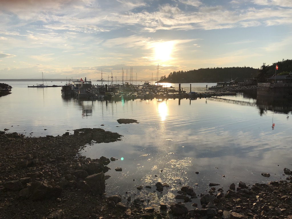
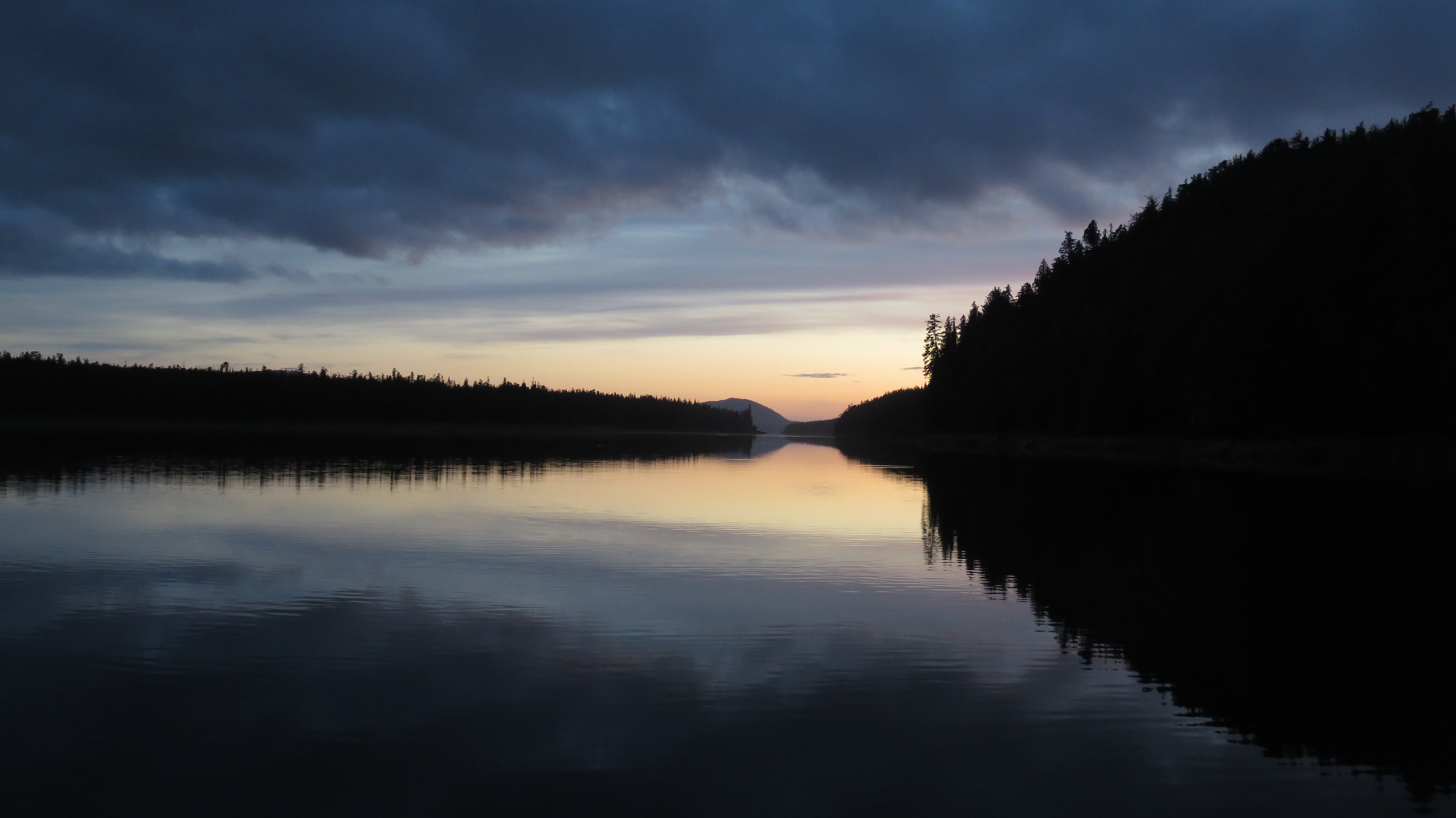
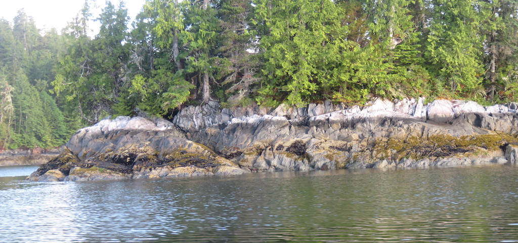
Thank good all was well this last nite. The anchor lines are wrapped 3x around eachother as the boat spun in the random-gentle-wind nite, minor detail. I didnt drag off into oyster rack or sheer rock-face land.
Plan the day. There are ~4 different possible routes to Lund. 1 i took north-bound, no reason to do that again. The other 3 (and indeed even the 1 i did before) are quite problematic: all include ~rapids, ~narrows, potentially dangerous passages, due to tidal currents, the hazard mitigated by transiting only at slack water. A description of some... and a very impressive youtube video...
- - -
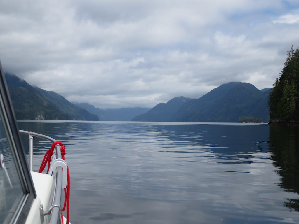
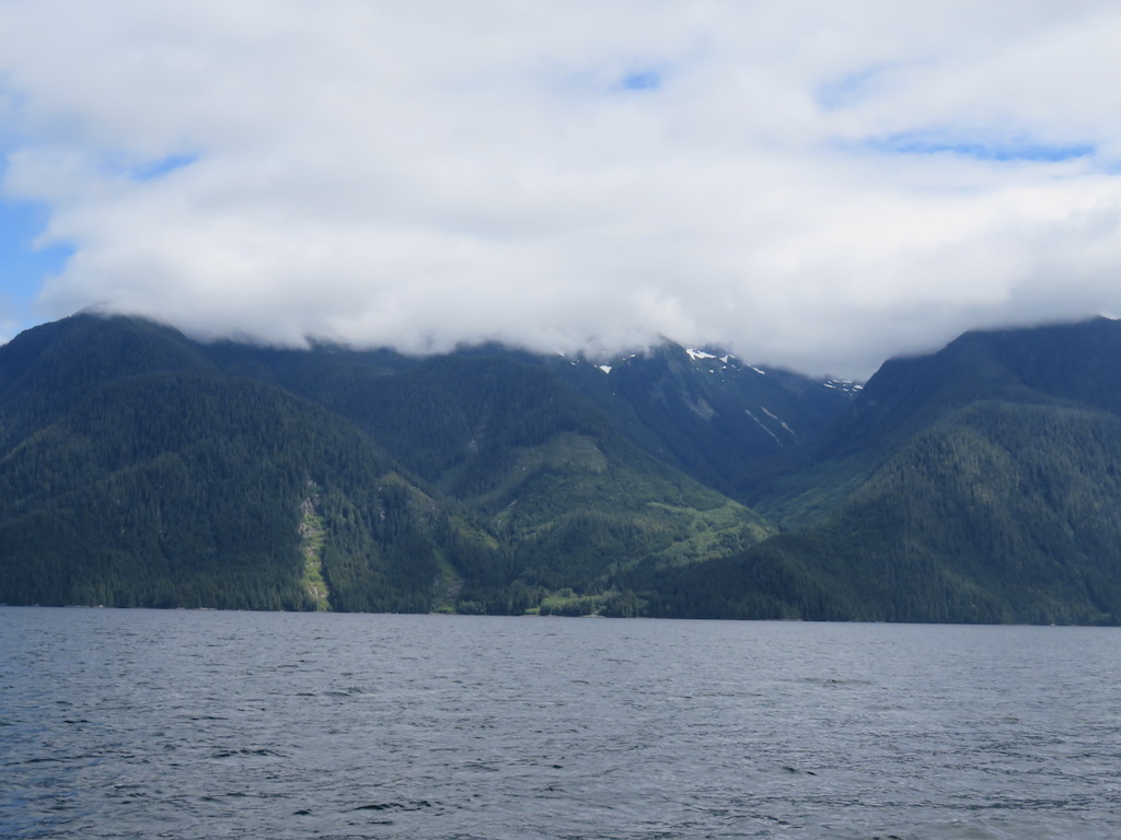
The tides go in, then they go out. Tides in this region are like 15-20+ feet, o my. Where the passages are narrow, or contorted, the tides can race thru at like ~12+knots. If it was just a speed thing, *i* would be ok. Cuz i'm fast. But more complicated than that. There's turbulence, rip currents, upwellings, standing waves, WHIRLPOOLS, OMG. Scary as heck.
It's like whitewater rafting, unless you do it at slack.
On way north i actually went thru ~5 of these passes, they really werent any problem, but i'm wondering: did i just happen to hit them at the right time?
- - -
On my east-US-coast sail, there was 1 place, in South Carolina on the intra-coastal waterway, where i encountered a true whitewater tidal channel. I wallowed into it under 10-HP outboard, til i could go no further: my max ~7mph speed was equal to the current opposing; i was going nowhere whatsoever. So what now? I eased off on the throttle just a little, and let the current carry me backwards to an eddy, where i sat it out til the tidal flow dissipated.
But that was nothing compared to the magnitude of the tidal channels here.
- - -
Canada publishes tables of the slack times & max currents for their various rapids; i'd downloaded them all before i left on the trip. I referred to them now along with 3 different reference books, none of which had a single simple map of them, so i had to page thru various chapters & maps; it was very complicated. (Oddest of all is that the Canada gov has no map for the tables, nor is a Lat/Lon given; the tables are named with the name of the rapid, and each rapid seems to have , in the guidebooks, multiple names.) It appeared that for 2 of the routes, with multiple rapids, the times, you might say, "set west", that is, the slack times for the western-more rapids were after those of the eastern-more, hence i'd have to run them east to west, which of course was impossible. And i feared that as i sat planning, i'd become too late to get to some 1st rapid before its slack time. I finally settled on the route with 1 single rapid, just cuz it was so much simpler. Finally, impatient, on my way.
The next dilemma was time conversion. The tables gave slack times in Standard Time. Is British Columbia on Daylite Saving Time? Best i could tell, yes. OK so how to convert Daylite Saving to Standard? If in the spring you spring ahead 1hr, then to convert DST to standard, you must subtract, right? But 1 guidebook said add an hour! I struggled with this as i drove the boat thru worsening wind & waves, even in the narrow channels, how could i be wrong with such a simple problem? Or was the book wrong? Some rapids have only a very brief slack time, i mustnt be 1 or 2 hrs off. Finally (i'm such an idiot) i realized it's a matter simply of which direction you're converting. I was thinking going from the time on my phone to standard time, subtract 1. But what i needed to do was convert the standard time table time to daylite, add 1. Whew. Then Cathy came up with a graph she found online where the guy had already done the time conversion, confirming the add 1. OK now i know the time of slack for Seymour Narrows on Discovery Channel (no no no, not TV, this is real): 1614 hrs this afternoon. I have plenty of time to get there.
Cathy, meanwhile, has done her research and decided i surely will die, and further she worried from something she'd read that i was going the wrong direction for the tides, that it was actually dangerous, that i therefore must stop at a marina and ask someone knowledgeable. The channel i was traveling was rather extremely choppy, and i had to wait for 1610 somewhere, so i was only too happy to accommodate her, stopping in at conveniently situated Brown Bay immediately north of Seymour.
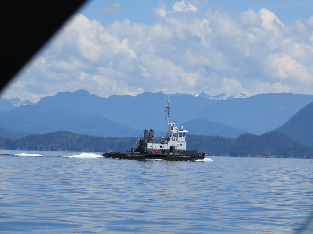
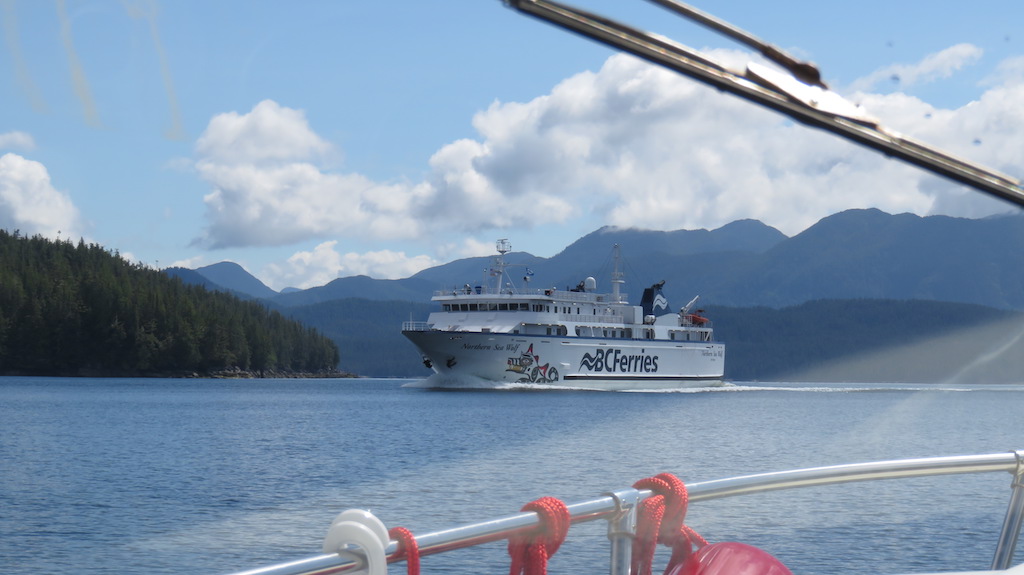
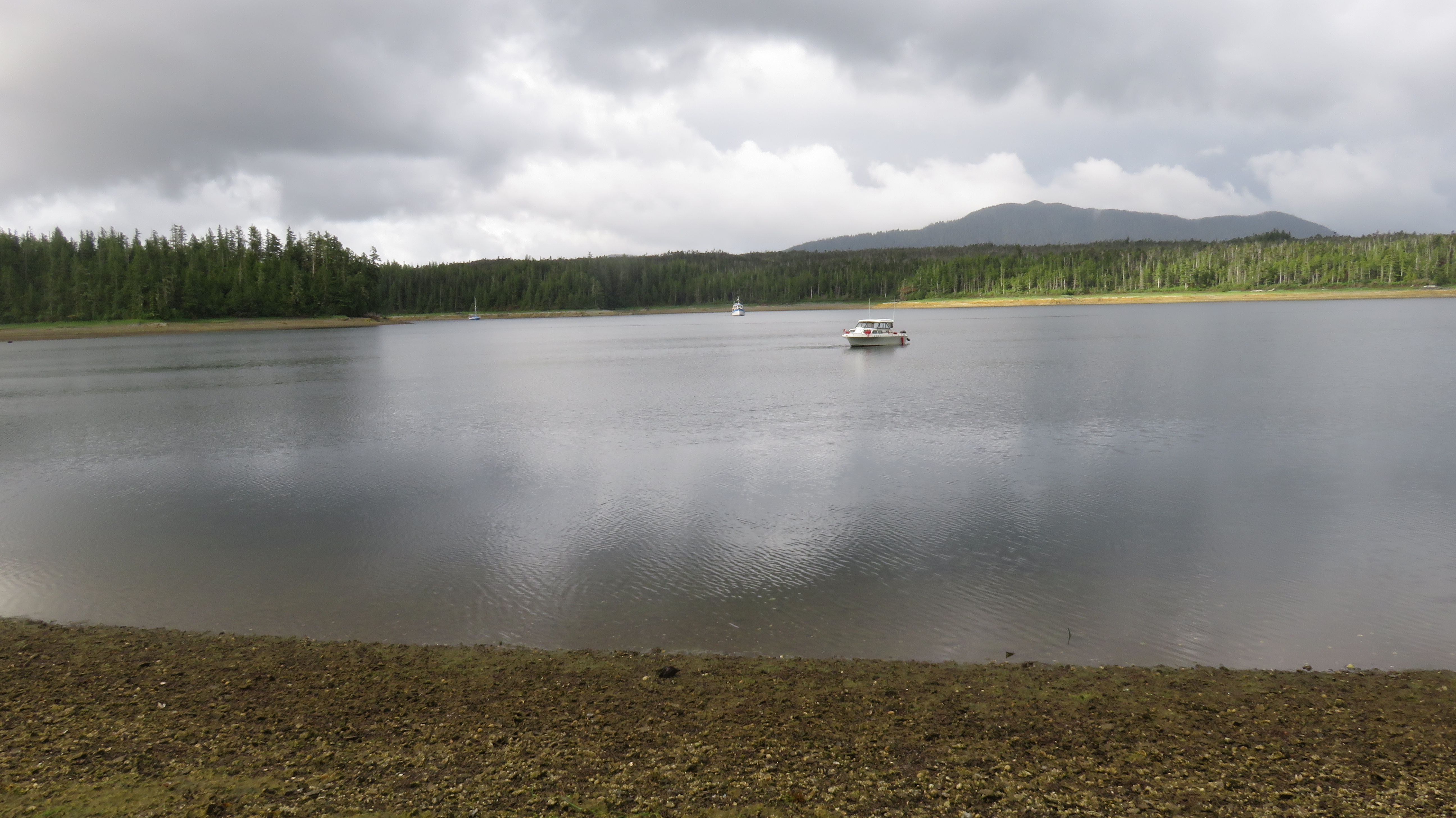
Meanwhile, a slew of various boats, like 24 of 'em, all at once, come northbound, clearly having come thru the Narrows at the last slack.
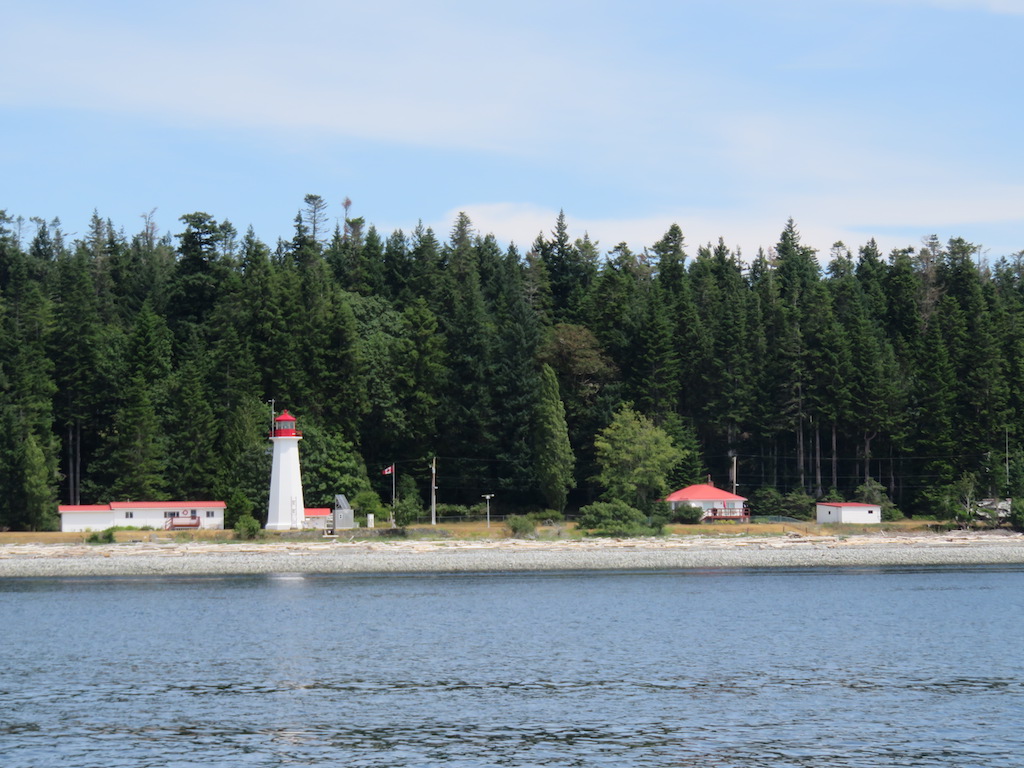
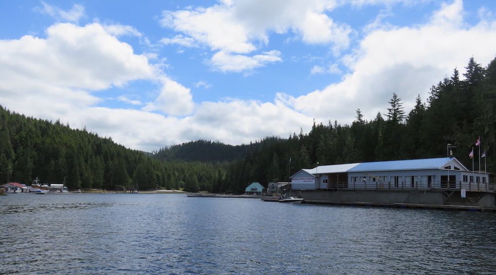
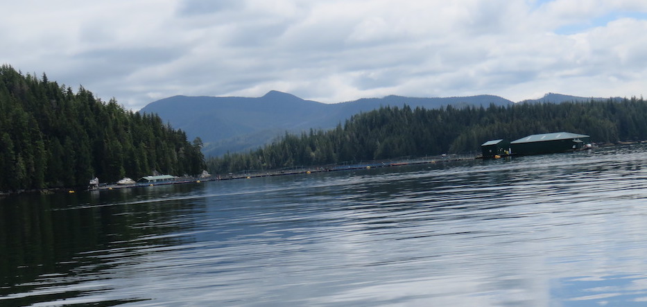
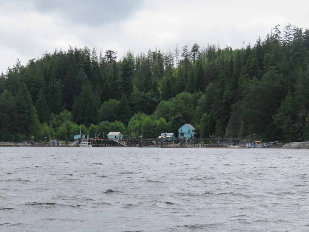
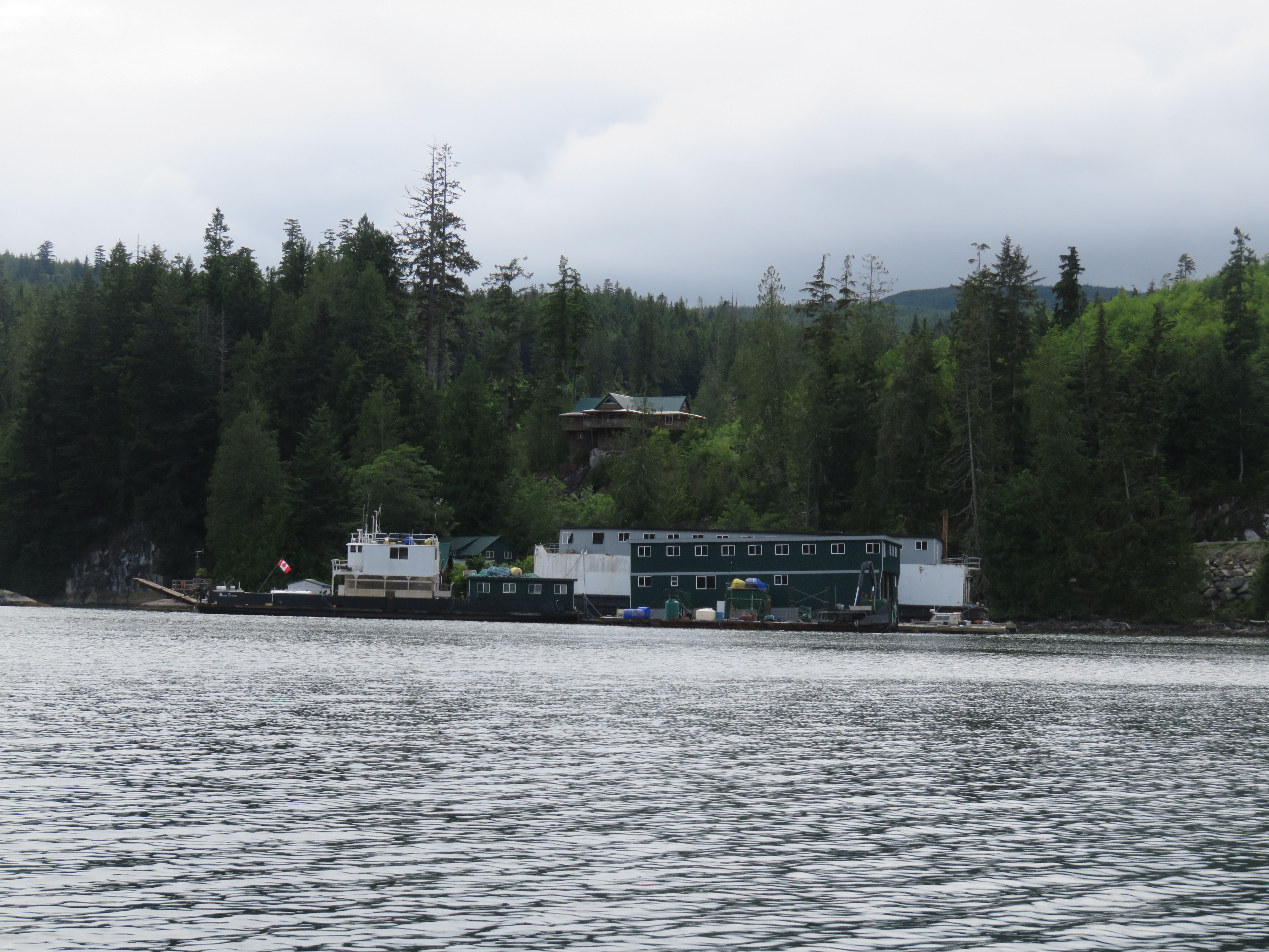
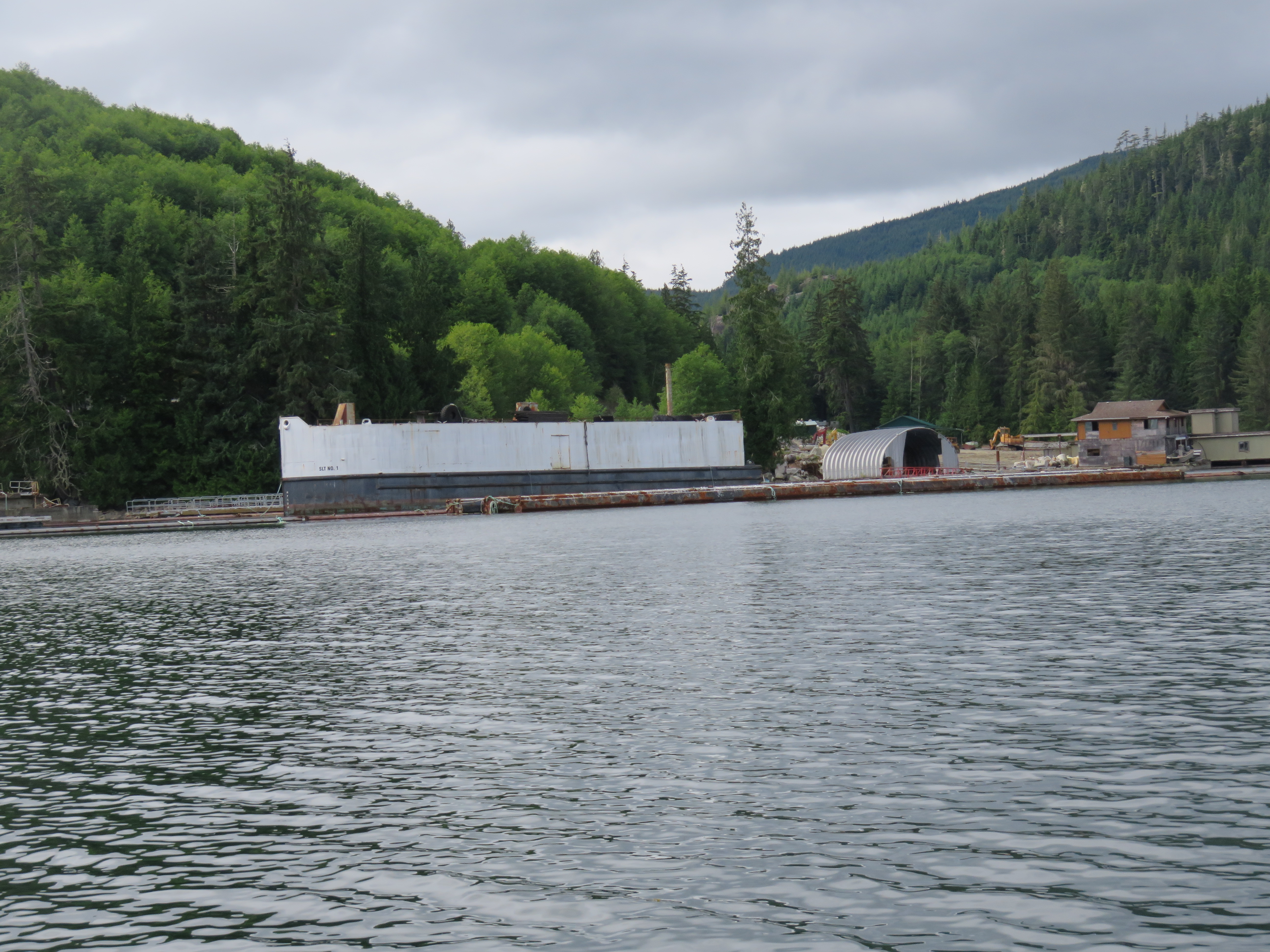
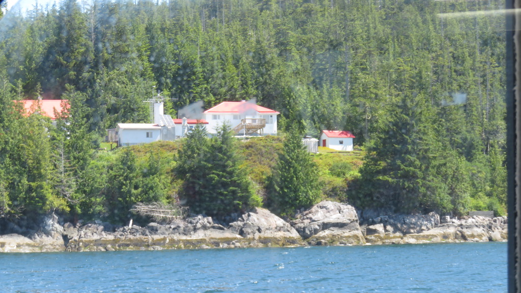
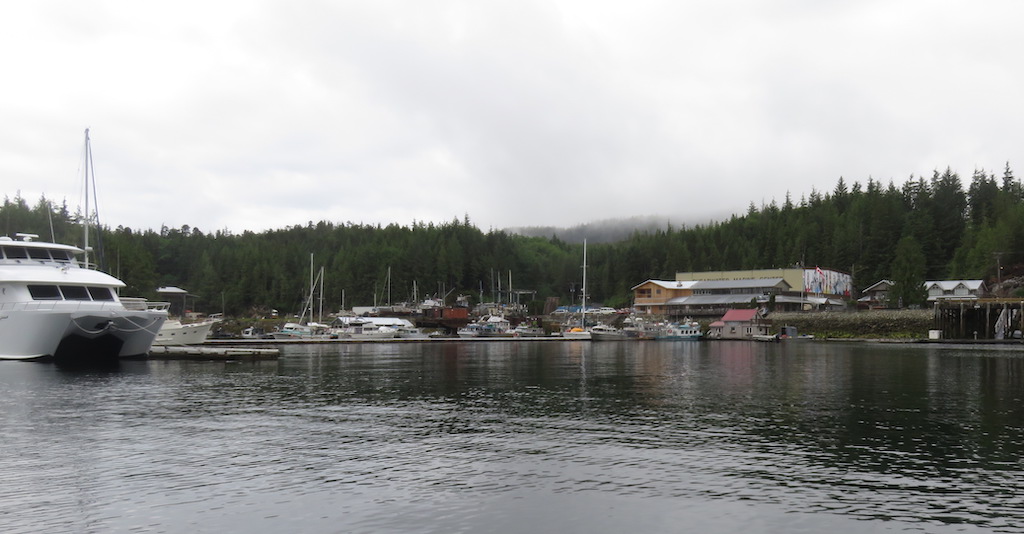
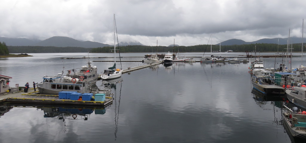
Arrived Brown Bay Marina, just a small place with a floating cafe, minimart, and fuel dock. As with every marina: ok, where do i park? I was happy to see a readable sign at the end of 1 dock: "Transient Mooring". Space on one side looked very narrow; a big sailboat was parked at the end on the other side, but there was space behind it, so i went for that.
But when i got around the yacht, here i find a sign saying that space is reserved for so-&-so. Damn. Well, i gotta go somewhere, i'll do that, then ask someone if it's ok.
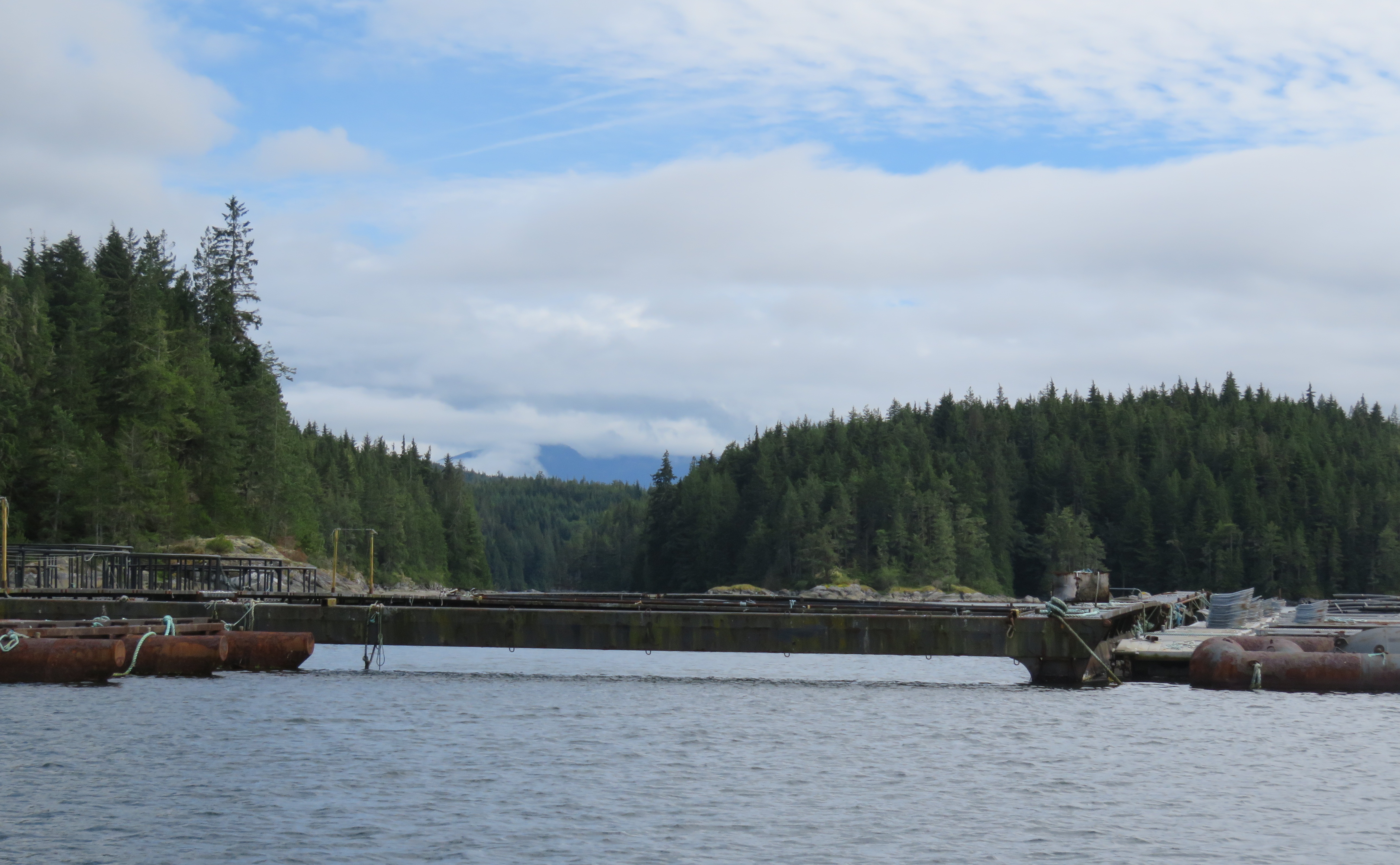
Now imagine the layout here. The docks are laid out in the shape of a "U". I've entered of course on the open end of the U. I want to park along 1 side of the U. But there's a strong wind blowing me in. I decide to get sideways, let it blow me onto the base of the U (which also is placarded with Reserved signs), then i'll get out and drag the boat into place. So this ~worked, tho given that i was only being blown sideways, i did hit rather hard but there was nothing i could do about it. So i get out, prepare to drag the boat into place, and already there's someone yelling at me, 2 guys in a small fish boat, "you're in our space!" Sorry sorry, i move, they park, they're happy now.
So we talk. They assure me there's no problem with my Seymour plan, long as i wait for slack. They ask where i'm coming from. Skagway. They look confused. Alaska. Holy shit, in that? 1 guy pointed to a big sailboat, he did some traveling too, down to Cabo (Baja), then rather than sail it back north (the wind blows from the north, whereas the trip south is easy downwind, the trip back's nitemare, slow splashy tacking back and forth against big waves), they shipped it back on a freighter. Good idea. Now they'v lived here on the boat a couple years, fishing. What a life.
I go for lunch at the nice little cafe, nothing to do for a few hours. Parked next to my boat is one of those big ~zodiac inflatables, all decked out, "POLICE" on the side. The 2 officers are likewise lunching in the cafe, dressed all in black, armor vests, web gear, combat boots, and those skinny little PFDs all the cool boat people wear now that auto-inflate when you hit the water, gosh they look tough. RCMP. As they were going out, they engaged in conversation with another couple, 1 looked at his phone, and pronounced that slack had been ~30minutes ago.
Huh?
So i caught 'em before they were gone and we discussed it. I told em my official gov table said 1610. They looked confused, checked their phones, no, they said, it says ~1440 (or whatever). I ran got my computer and showed 'em, hoping theyd tell me what i was doing wrong, then realized they were looking at TIDE tables, i was looking at CURRENT tables, you'd expect theyd show the same slack times, but clearly they did not. Weird. Tide tables of course of water level; apparently even after reaching a certain max or minimum level, the water keeps running.
I told i used to be a Boat Patrol guy for the Park Service and Sheriff, it was the world's greatest job.
Still waiting, nervous, Cathy & i in a txting discussion of the math of tide graphs. Out in the channel the line of whitewater has dissipated.
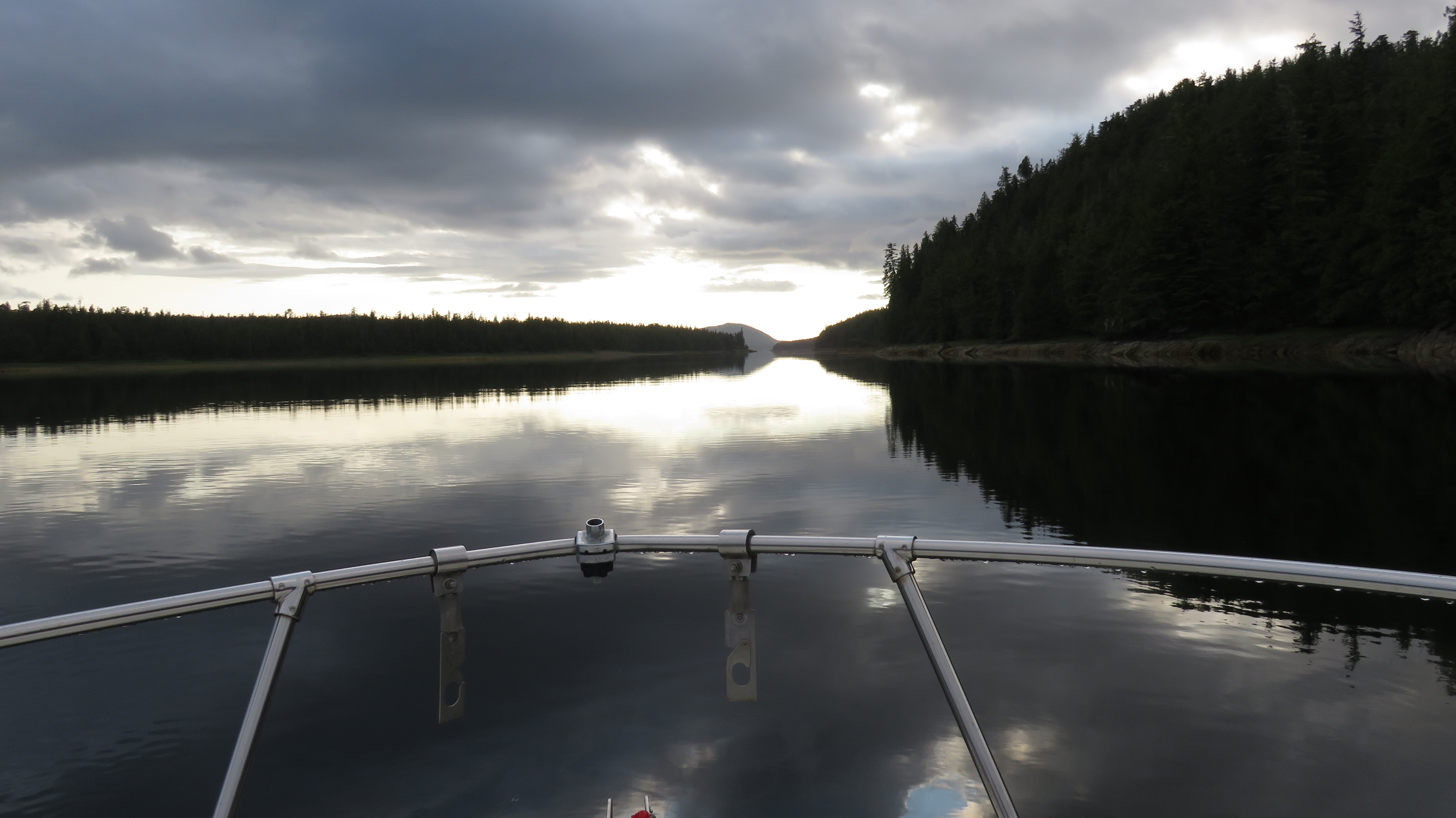
At ~1530 the local fish guy comes by, says a sailboat just went thru Seymour under sail, it must be ok. It would be impolite to not agree. I get prepped, warm up the engine. He holds the bowline for me as i back out, the wind now blowing the opposite direction and wanting to blow me into the sailboat. Just outside the marina i pull in the fenders, done the offshore PFD, activate the various navigation devices. Relieved, finally deal with this.
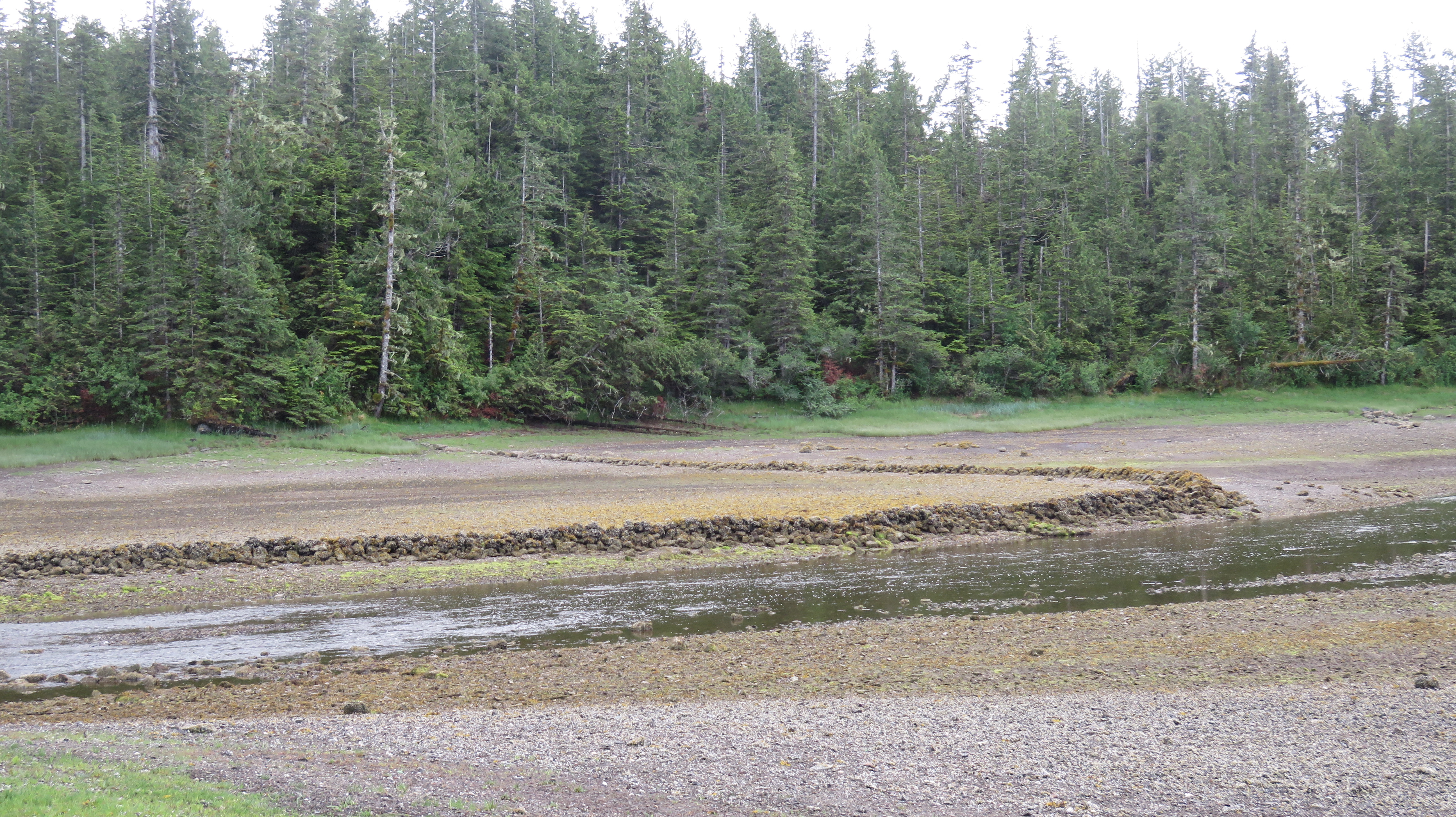
And, as it's spozed to be if you wait for slack, there really was no problem. Yes, it was weird, the water roiling around like a pot boiling without the bubbles. But no real problem. Indeed the wind-waves this morn were far more difficult.
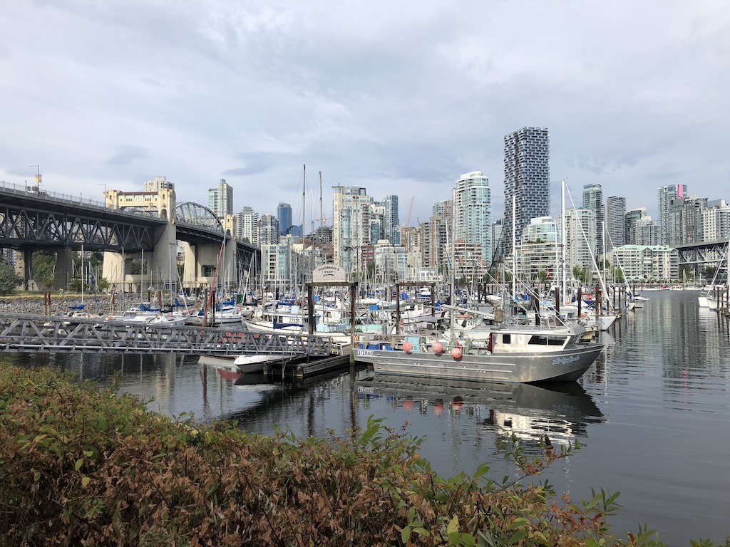
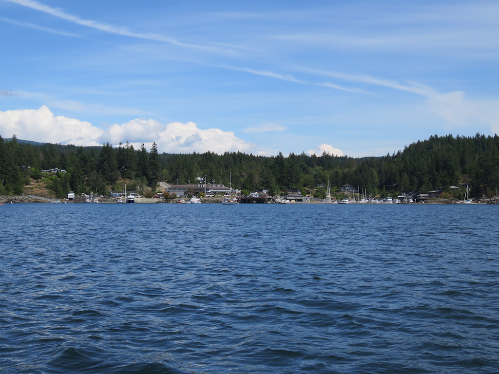
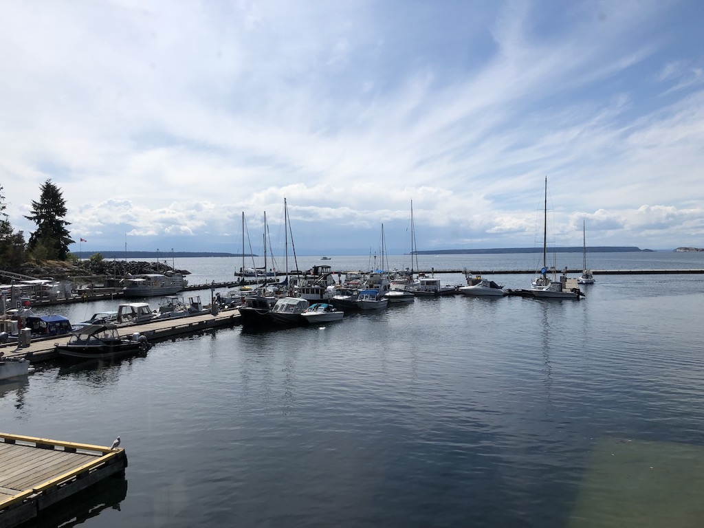
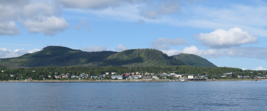
I soon arrive at the marina at Campbell River, i phone in, they give me a berth. Everything, the entrance, docks, spaces, are clearly signed up high in big letters. I compliment the harbor master when i sign in, it's the best marked marina i've been to. Then i ask her where i can find a pub. As i'm saying it, i look out the window and there, immediately on the land, is a big neon sign "Riptide Pub". Ha even the pubs are well-marked.
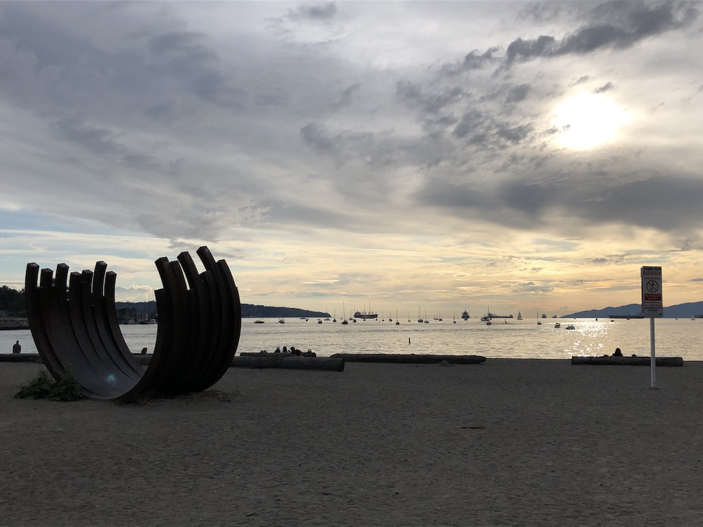
Tho there may be waves tomoro crossing the north end of the Georgia Strait, and then going south from Lund to Vancouver, i think i'm finally done with all the scary parts. Like the boat's old name, finally, i can Reelax.
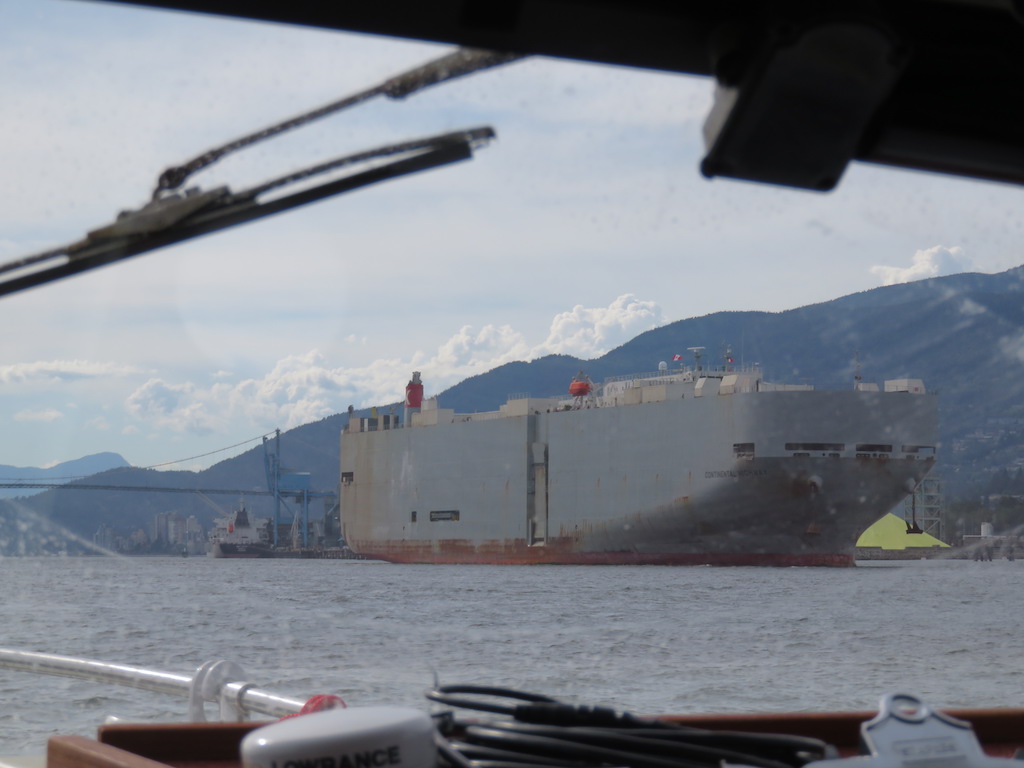
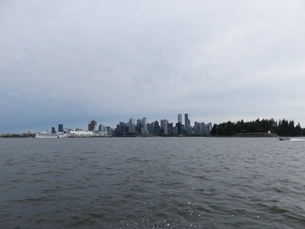
 Tried to get hold o my friends in Lund, but failed. O too bad. Off to Vancouver. It was a perfect sunny day. Wind waves initially increasing to ~1', not bad, then rounded a point & the sea went flat all the way to Vancouver.