5/16: Wind calm all nite. I had 2 anchors down, tho i just simply dropped 'em over the side, no 'setting', but i was lucky and they did the job. They did become entangled with each other tho' (as the boat rotated lazily around, no wind to keep it stretched out), so that was a chore disentangling. Had coffee, then out early.
I'd failed to buy 1 chart. It was for an inland area, so i fig'd it wasnt needed. i didnt realize a channel went all the way thru, allowing me to bypass a lot of coastal rock-strewn passages, and inland passages are preferable anyway cuz less wind & waves. But in the Cruising Guide i'm using, and on a crude tourist map, the chartless passage looked wide & uncomplicated, so i tried it.
It went fine. My onboard nav system, Lowrance LCX-113CHD / LCX-28CHD, is old but cool. In the US, it has an actual nautical-chart display, and its GPS shows exactly where the boat is and which way it points. Perfect. But that's not what you see in Canada. Unlike US NOAA charts, Canadian charts are not free. OK i could get electronic Canada charts, but their law says i must have paper charts aboard, so i'd have to buy each 1 twice. So all the Lowrance shows in Canada is a VERY crude display of landmasses (even lumping many islands into 1 mass).
Luckily, i discovered today that the Maps app on my iPhone actually does a very good job of navigating. It shows me exactly where i am, but its landmass representations are much better than the Lowrance, plus it actually puts names on islands & adds some cultural features, like towns.
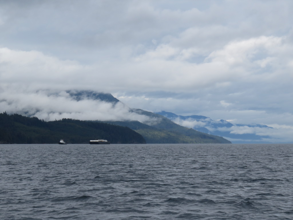
So i easily navigated my way by iPhone thru the chartless section, which as i suspected turned out to uncomplicated. Fjord-like, the mountains plunge almost vertically to the sea and keep right on going. No chance of running aground.
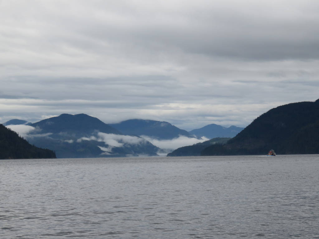
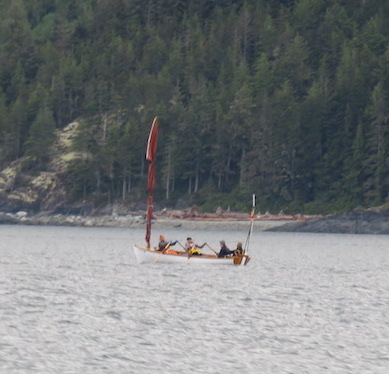
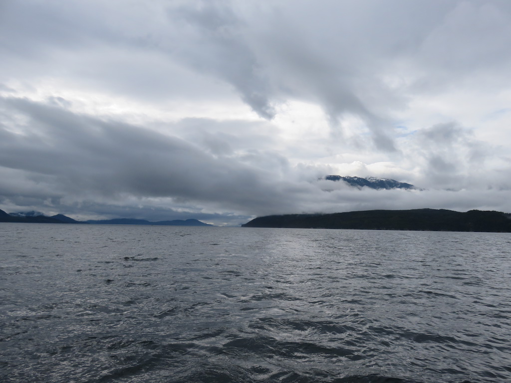
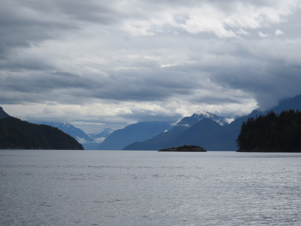
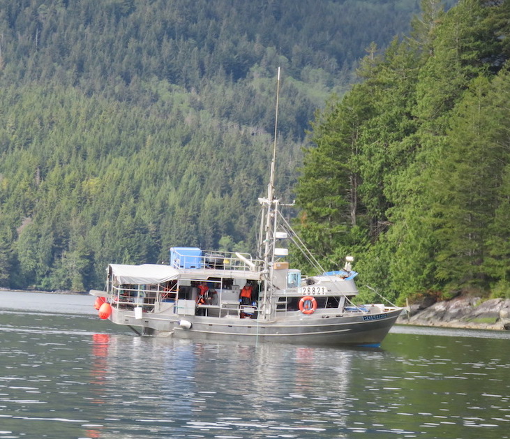
It was a grey day with low-hanging clouds on the mountains, but the sea was glassy (other than the occasional nest of disconcerting whirlpools), i had the region almost to myself, and the scenery was awesome. Plus there various types birds, seals, and 2 porpoises.
Started raining some afternoon, but i was almost there.
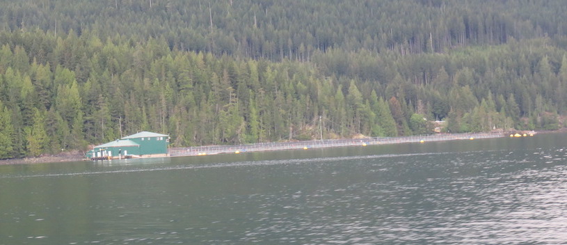
Towns are few now. I was aiming to gas-up and buy 2 more missing charts at Sullivan Bay, which the Guide Book describes as an important resupply station for Cruisers. Maybe i'd even stay overnite, hit the resort restaurant, etc.
But the place was beyond sleepy. 4 folks were involved in the gas transaction. They were extremely nice, but when we were done i said, "I think i've met everyone in town."
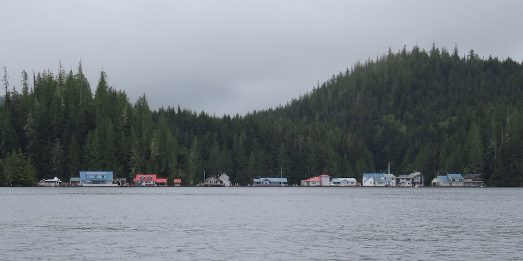
The grocery shelves were empty save for some cans of beans, tuna.
They explained i was early, the season doesnt start til "late june".
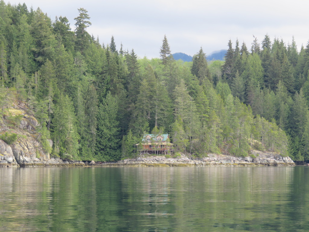
Nice sleepy place, but no reason to stay here. So i went around the corner of the island to an inlet listed in the Guide Book.
I have the whole place to myself, except for the birds. Their various odd calls are like various electronic alarms.
1 comment:
Perfect...if you have to fight sucking whirlpools, you deserve a perfect day now and then.
Post a Comment